Thursday, April 5, 2012

Foothills Trail via Bad Creek

So glad the rain held off for another great hike on another segment of the Foothills Trail.  Maybe one day, I can post that I have completed the entire 77 miles and then I'll focus on the Palmetto Trail or not.  There just are so many hikes in the area I have yet to discover.  Our original plan for this hike was to enter from the Bad Creek Parking area and hike to the lower Whitewater Falls.  We had a small group of 8 today (7 women and one lonely guy)  Don't really think he was lonely - he seemed to enjoy the chat with each of us.  Most all in the group had seen the lower section before, so we decided to follow the Foothills Trail along the Whitewater River and what a nice choice that turned out to be.  Actually ran into several trout fishers and 2 more families making a weekend trip along the trail.  Camping is not allowed around the Whitewater corridor.


Not sure what he is, but he was awful friendly.

This is a nice, well groomed, moderate trail that starts at the Bad Creek Reservoir and follows the Bad Creek Spur over a ridge, crosses two footbridges over the Whitewater River where you can stay on the Foothills Trail.  Several trails branch off this area to either Coon Branch near Upper Whitewater Falls or the Lower Whitewater Falls.  It is well marked with blazes and signage. 


Today's hike ended up being 4.8 miles and we enjoyed yet another picnic along the river.  So many more wild flowers are still out in bloom.  Found many more Trilliums and wild dwarf Iris's and a few other ones I'll learn one day.  I've been trying to take some pictures of them and with the help of my fellow hikers, identify, so I can at least have some knowledge on what I'm seeing.


Jack-in-the-Pulpit

?


Trillium
 

Tuesday, April 3, 2012

Twin Falls

Tuesday, April 3rd hike without Pam.  She's with her family in Piegon Forge at a Baseball tournament.  I remember those days.  Pam has been doing the Tuesday hikes with me.  She missed a good one, but we'll make up for it.  Today we grouped again at the Holly Springs Store off Hwy 11 and headed a few miles on 178 to the upper area of Twin Falls.  Another gorgeous day with temps around 65.

On our first leg of this hike we headed up to the top of the falls and back.  It was mostly easy but had some elevated areas, of course.  Total of 3 miles.  As I understand it, this trail is relativley new in this area.


Our regular leader,Bob, was out today, so Nancy was the lady in charge.  We'll, she new where we were to go and she is very full of knowledge of all the trails we have traveled. 


Just above the falls...it is very slick!


View from the trail

Guess this tree got tired of standing on its own.


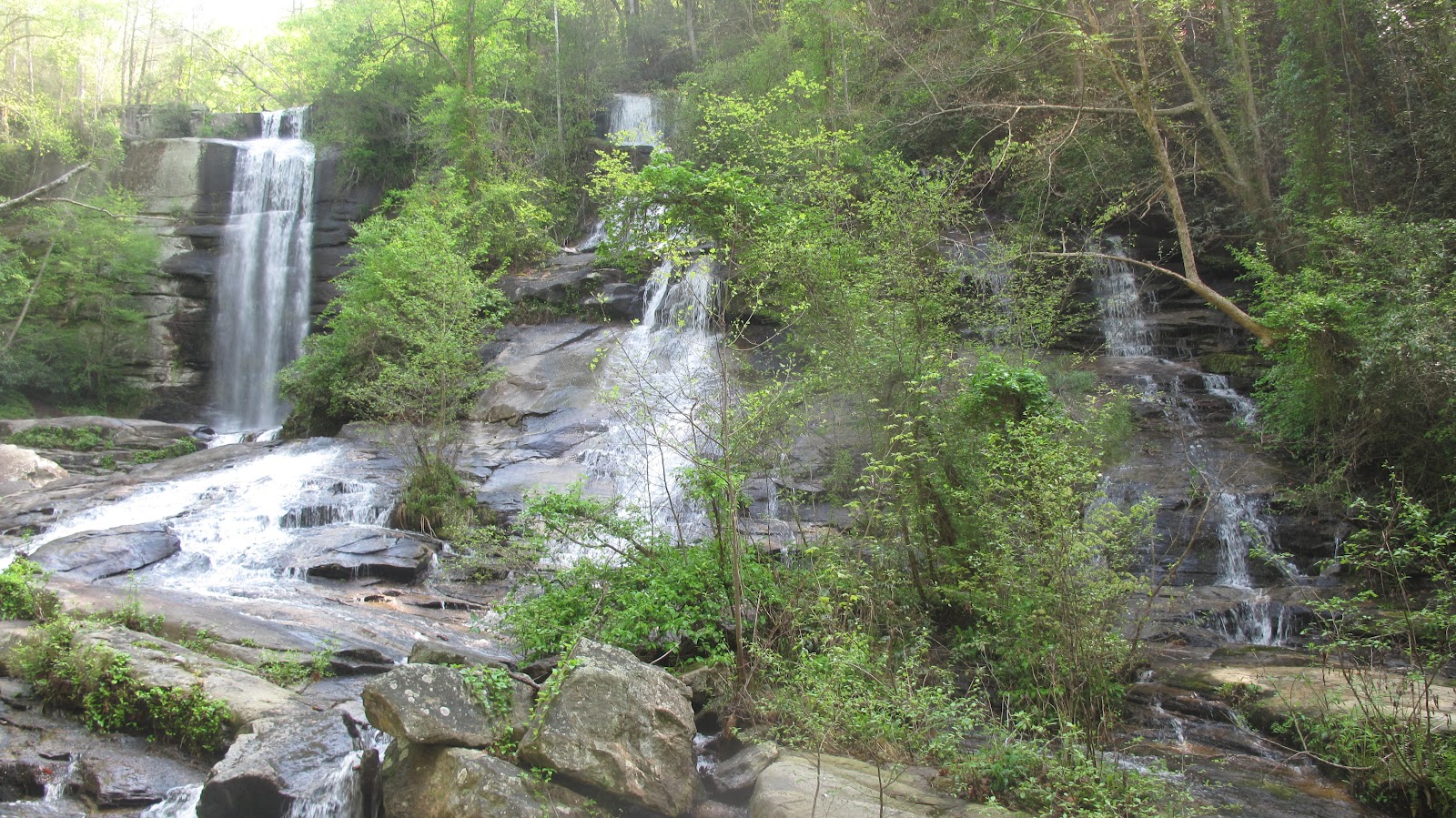
Totally awesome...2 waterfalls.....


How about naming this Triple Falls!  Incredible!


Oh, and my new "Keens" did great!  Love em!
Always time to stop and smell "the flowers" - Dwarf Iris


A little detour on our way home at Long Shoals Creek.
Great place for the kids to swim and fish!

NOTES:  Directions - Heading North on Hwy 11 from Walhalla headed to Holly Springs Store (approx. 20 min. drive), turn left at Junction Hwy 178. Go approx. 4 miles and turn left at Bob's Store.  Go approx. 1 mile and look for area to Twin Falls (this will be the upper area).  When leaving keep heading north and watch for signs for Twin Falls Parking.  This will take you on a trail to view the falls from the bottom.  

Chinquapin Mountain and Glen Falls

Thursday, March 29 we all got an early start to visit the Highlands area.  This is probably my favorite hikes so far....just mainly because the weather was perfect at 75 with a cool breeze, the hike involved crossing aleast 10 streams, had 10 switch backs, 5 different lookouts and of couse the most awesome waterfall I have ever seen.  Everything needed for a great hike.


This is number 3 of 5 lookouts, all had great views.  A little hazzy day, but still great.

Over time, the wind had pushed this tree into another, making the smaller limb work at cutting through the other.  It was an erie sound.  Thought at first, it was some kind of animal up in the tree.

Glen Falls....Wow!  Never seen anything like this one!

To make a perfect day even better, we all meet at Sweet Treats to indulge in some ice cream.

NOTES:  It's shorts time!  The Mountain hike was just at 6 miles and I added .5 to get to the second cascade of Glen Falls.  Very steep.  Did not go all the way down this trip.

Directions:  From SC 28 in Walhalla, follow 28 to Highlands, then jog left on US 64 going through town and then another left on NC 106 (Dillard/Scaly Mtn. Road) for 2 miles.  Then south (left) on Glen Falls (gravel) Rd, for about a miles to the parking and trail head. 

Tuesday, March 27, 2012

Hickorynut Mountain via Foothills Trail

Another awesome day for a hike with my sister Pam and the group.  I would love to get my other sister, Diane, out with us.  If she could only come up more often from Atlanta.  Maybe on her next visit, we can plan an outing.


Started out meeting Pam off Hwy. 11 then driving approx. 20 mins to meet the others to car pool up to Sassafras Mountain.  This mountain is the highest peak in South Carolina - elevation 3,554.  The view here is fantastic.  You can see all the lakes - Hartwell, Keowee, Josassee, and even Bad Creek, plus all mountains from Cashiers to Highlands and I'm sure many more.  The temp was just perfect - probably reached 60 by lunch. 


Pam enjoying a little break at the old Cantrell home place.  Sue is standing in the background - I'm sure asking, "Why does she need a break" lol.  You got to know Sue to understand, this lady doesn't stop....she's hiking everyday - in the woods or out through out the sub-division.  I admire her and I do believe she is older than Buddy.  She is also my Yoga, partner.  I say partner, because she got me started in the Yoga and Yogalates classes at the fitness center.


Not sure what we were looking for

This place was so inviting, we all came back for lunch.
 You should have seen Pam booking it up the trail so she could get her favorite ROCK chair.  Love it!

Our leader, Bill!

Just strolling along.....

Hickorynut Mountain - Awesome!

After the 5 miles up and back hike we enjoyed another view from Sassafras Mountain. Great Day!


Friday, March 23, 2012

Hidden Falls via Oconee State Park


Thursday, March 25th - Hiking adventure today led us to the beginning of the Foothills Trail.  Thirteen of us gathered at Oconee State Park with threats of rain.  Luckly, it was just an overcast day for the hike.  The trail gradually descends through woods and a small creek eventually feeds Hidden Falls.  However, the trail shortly departs from the creek to descend along the western and then northern crest of a small ridge.  Eventually, the trail bears back to the east and into an open cove to reveal the falls.  We haven't had alot of rain lately, so not much water was flowing down the falls.


This cascade fall is a total of 50-60 feet high. 


After our return to the park, we enjoyed a nice picnic by the lake.  Guess the 5.5 miles wasn't enough for us, so we took a little walk about around the lake.


Monday, March 19, 2012

Devils Fork State Park

Tuesday, March 13th traveled with group to Devils Fork State Park.  Just a short distance from my area.  I've lived in the area for many years and have never visited the park or Lake Jocassee.  Our first one mile was on the nature trail at the park taking pictures of the Oconee Bells blossoming along the creek beds.  A short distance away was the trail head to Bear Cove.  A mildly rugged dirt trail and various hard woods descent into a mixed forest. Just follow the white blazes and you'll make your way around part of the lake where you have a backdrop of the mountains. This is a nice 2 mile loop.  The lake was down a bit, but still beautiful and very cold.  A few brave soles where out there jet sking. 


Notes:  Weather reached 80 today.  The park is located off SC 11 approx. 13.5 miles from Walhalla.  Turn left on Oconee County S37-25 (Jocasse Lake and Devils Fork Rds.) and follow signs to park entrance.  Fee and facilties are available.  Also, nice area for a picnic.

Friday, February 3, 2012

Foothills Trail @ Fish Hatchery


Beautiful day for another stroll on the Foothills Trail.  It was really more than a stroll, considering all the creeks, logs you have to mancuver over.  The hike was fairly easy and enjoyable but 6.6 miles long.  Pam joined me again for this hike along with 34 other hikers and probably 6 dogs (incuding Pam's dog, Penny)  We got started around 10 am, just met all at the trail head located at the Fish Hatchery off Hwy. 107, instead of car pooling, since both Pam and I wanted to visit Mom after the hike.  Along the trail we view several waterfalls.


At the half way point, which is the Sloan Bridge area off Hwy. 107 at the SC/NC line (not sure where the name came from) several of the hikers from our group had pre-planned a gourmet soup picnic for us all.  It was really such a treat.


The return trail back was just as enjoyable.