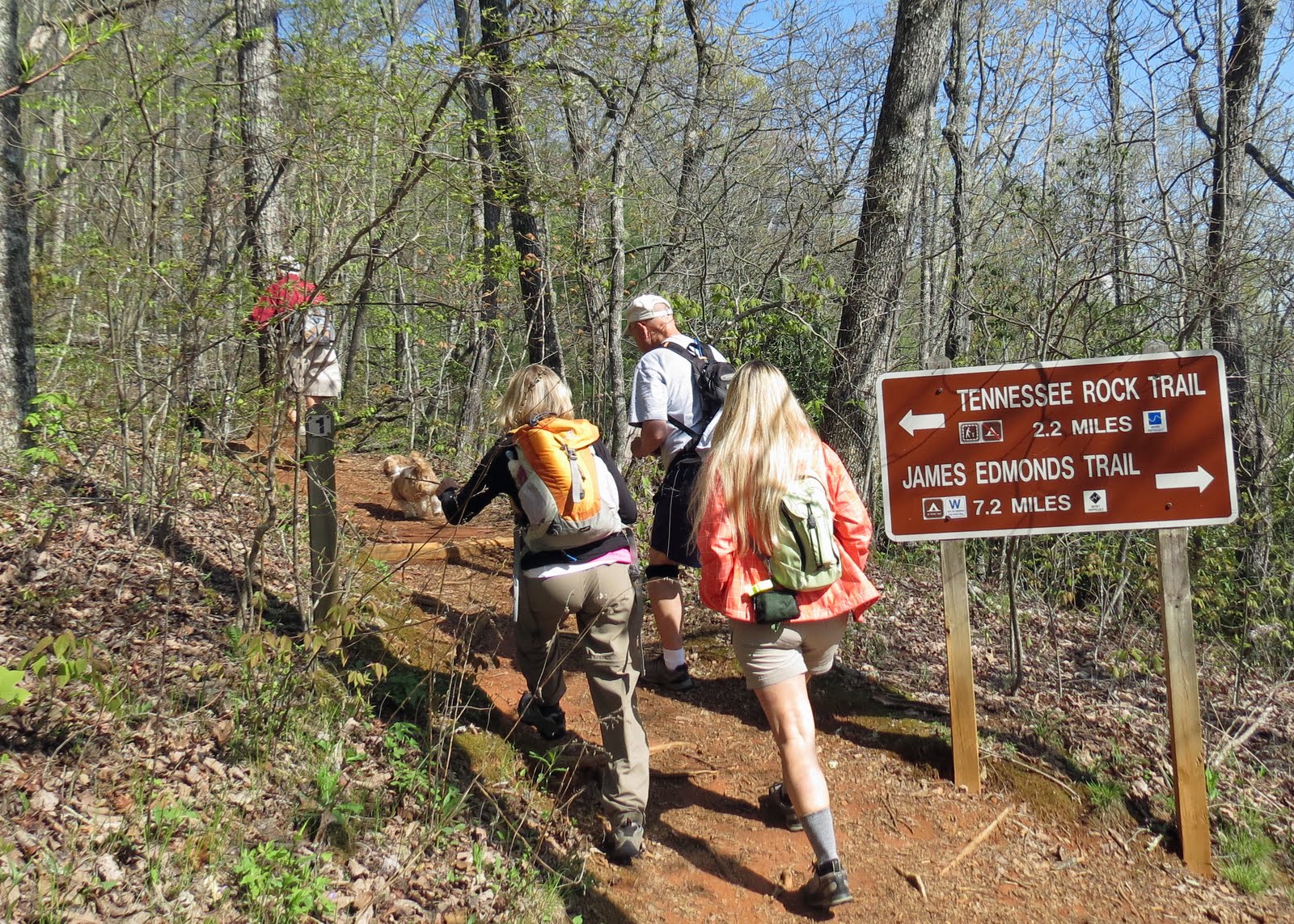
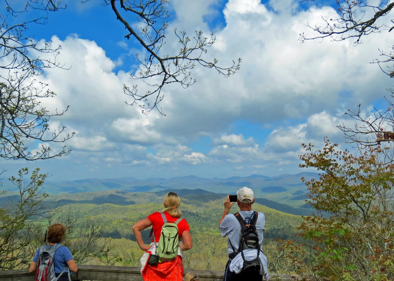
Nice Fall day for a 5.5 mile hike through the Clemson Expermential Forrest Area. Our more casual hike today took us along several paths (alot of bike and horse trails) down to the dam. Nice picnic lunch and good conversation. />
DIRECTIONS:
From KKEPA, go 1.7mi S on SC130, then 5.4mi E (left) on SC183, then 2.7mi S (right) on SC133;
bear right on Main St in Six Mile and continue 4.2mi (on SC133) to sharp right onto Old 6 Mile Rd (at Maw's country store)
Parking and kiosk is 0.6mi on the right. TAKE HIKING MAP WITH YOU. There are so many trails that are unmaked and you will get confused. We had to stop several bikers on our way out and ask for directions back to the parking lot.
Tuesday, September 24, 2013
Saturday, September 21, 2013
Fall Outing to Pisgah Forest
| View from my room at the Pisgah Inn |
The past four days I have covered just under 30 miles of hiking in the Pisgah National Forest with our hiking group. Most of our group arrived early on Tuesday for lunch at the Pisgah Inn and a short 4 miles hike afterwards to Frying Pan Fire Tower. The weather was just beautiful. Nancy arranged for the excellent rates at the Inn and Bill researched the hiking trails that would be most convenient for us. The Inn is rather old, but newly updated and the view from each balcony is breath taking.
DAY THREE: Mandy drove over to meet me for an afternoon of hiking. She picked for us the "Shut In" trail which runs from Hwy 191 at Grassy Bottom to the Pisgah Mountain Parking Area. This trail is 19 miles long, but we only did the last 8 miles of the trail. Actually added another mile so we ended up at the Pisgah Inn. This was a tough hike....I don't know how she runs it for the entire length and breaks records. This part of the trail is also "Mountains to Sea" trail that runs to the coast. But the call part of it "Shut In" because of all the foliage that covers over the trail. At the last mile you can see the remencies of the old hunting lodge that George Vanderbuilt built for his hunting buddies.
| The wild flowers were abundent! |
| Remaining of the Hunting Lodge |
| Beginning of where Mandy and I started on the Shut In Trail |
Thursday, September 12, 2013
A Water Fall Outing
| Turtle Back Falls |
| Rainbow Falls |
| Drift Falls |
Tuesday, September 10, 2013
Let the 2013-14 Season Begin
Our first hike out for the season begin with a leisure walk up the Horsepasture River to Coon Branch. A beautiful day out and especially nice to have my sister out with me. On the return we continued our hike crossing the river and making our way to Lower Whitewater Falls. They was a total of 15 hikers today....some new and some of the ole gang. Anxious for the upcoming hikes and especially our fall outing in Pisgah forest coming up soon.
Monday, May 13, 2013
Black Rock Mountain - Clayton, GA
Tuesday, Apr 30, we headed to Black Rock Mountain State Park near Clayton where wildflowers abound in the spring. This was a 2.2 mile Tennessee Rock Loop, then another mile (each way) to and from the Trading Post and Ada-Hi Falls. Steep grades are short and both trails mostly easy/moderate. The park is 1,743 acres.
| And we're off...... Creepy At an altitude of 3,640 feet The State Park is the highest park in Georgia |
| Add caption |
Tuesday, May 7, 2013
Chattooga Narrows via Bull Pen Road
Tuesday, Jan 29, a "Narrows escape". We head north, 3 plus miles upstream on the Chattooga from Bull Pen Rd with an easy to moderate, mostly riverside trail to Norton Mill Creek Falls and the Narrows...an impressive sluice carved into a rock wall canyon.
Pam had some free time to join us on this one.
| Helping Sista! and another helping hand..... |
| This is how you do it...... |
| Think I got the hang of it! |
| This way is easier...... |
| Pam and I just had to take the group to Mom's Place to see the mill and waterfall....after all, we were just a few miles away. |
Chattooga Narrows
Thursday, Apr 25, we ventured to the Chattooga Narrows, but by the route from Highlands. It's a rolling, mostly moderate trail; down hill and stream outbound; up stream return, 3 miles each way, and not usually troubled by deadfall as others experienced a couple months ago on the southern route.
Back in January, Pam and I went with the group and hiked from the other end of this trail. We started on Bull Pen Road and parked at the iron bridge - trail head was up river.
| Lunch by the Chattooga River |
Subscribe to:
Posts (Atom)