Friday, November 8, 2013

Long Creek and Raven Cliff (Deliverance Rock)


Missed a few hikes in the last two weeks so I was anxious to get out into the woods. Since our Thursday hike was cancelled due to weather, Bill decided to schedule the hike for Friday. So glad I was feeling better and didn't have anything pressing that would have prevented me from hiking this day. After doing some research to see if I had been on the Long Creek hike before, I discovered the directions to the trail head was familiar but the surroundings from the previous year pictures was not. It wasn't till after the hike today and driving back out that I saw a sign that read "Trail to Opossum Falls" (my first hike with the group 3 years ago)....so I had been in the area but not on this particular hike. Twelve of us gather at the usual meeting place and off we go. A little bit of a turn here and there, but we found the trail head. NOTE DRIVING TO TRAIL HEAD: Follow gravel Turkey Ridge Road till the end and trail head will be on an old maintenance road. Just a short distance on the hike, the road veers off to left (this will be way to Raven Cliff). No markings to speak of, so we just had to relay on past experiences on this trial. We hiked for approximately one mile before reaching the view of the Chattoogo River/Raven Cliff/Deliverance Rock. What a site to see.
After the specular view we returned back to the main trail and headed to Long Creek Falls. Our leaders' memorary was a little off, and led us off the path but shortly most of us turned back and found the correct trail to the river. It was such a beautful day, no one seemed to care about the extra scramble.

Long Creek Falls - leads into Chattooga River Section IV


After our usually picnic lunch we scrambled back up the hill and found our other group pondering on if they had missed us.

Tuesday, October 22, 2013

Raven Gap Falls

What a great hike today to the Mountain Bridge Wilderness Area. Twenty Five of us gathered at the Holly Springs Mart off Hwy 11 and headed to Caesars Head State Park for a moderate to strenuous 9 mile hike to Raven Gap Falls and then to the suspension bridge off the Gum Gap Trail. This area has 40,000 acres of wilderness containing over 50 miles to the best hiking trails in the state. We stoped at the Ranger Station to purchase a trail map....not that we needed one (our leader takes care of that), but I like to have my own map so I can see where I'm going and where I've been.

Raven Cliff Falls
Matthews Creek plunging over 420 feet over
the side of Raven Cliff Mountain


Suspension bridge sits directly above the
1st drop of the falls


Tuesday, October 15, 2013

Tour de Falls....Dupont 2013


What a gorgeous day for hiking at Depont State Park and boy were the folks out taking advantage of it. From the Holly Springs Store on Hwy 11 (junction 178 and 11) we went 22.7 miles E on SC11, 11.5 mi N on US276, and 5 mi N on Cascade Lk Rd (at firehouse) then a right on to Staton Road to the parking area on the left, just over the bridge. There are potties, and no fees. There is a new trail bridge from the Hooker Falls access area to the Triple Falls Trailhead. Visitors can cross the Little River on a 120 foot long bridge, walk under the highway bridge and go up to Triple Falls. There were 21 of us today and and we mastered 8.3 miles and 4 waterfalls.


Triple Falls


Other Info: DuPont State Recreational Forest contains 10,400 acres in the Blue Ridge Mountains of Western North Carolina. Elevations range from 2,240 feet at Cascade Lake to 3,620 feet at the peak of Stone Mountain. Little River runs through the forest, with four major waterfalls along its course. The forest also contains five lakes. The largest is 99-acre Lake Julia. The forest has over 80 miles of roads and trails that are shared by hikers, mountain bikers and equestrians


High Falls

Bridle Vail Falls

Lower part of Bridle Vail Falls


Not for us!


Hooker Falls


Sunday, October 13, 2013

Keowee-Toxaway State Park

My hike today took me on another trail I have been on with the group except for the park service has re-routed the trail for a much better hike and with more assessability to lake views. This moderately strenuous, well-marked 4.2-mile loop provided us with a link to the past as we hiked on land that Cherokee Indians once traversed. We begin the hike on the Natural Bridge Trail and shortly afterwards we crossed Poe Creek on the Natural Bridge, and then we turned right onto the Raven Rock Trail. We ascended and descended around McKinney Mountain to a rocky area near the top where we were treated to a beautiful view of the Blue Ridge Mountains to the west while surrounded by mountain laurel. Continuing, we came to another vista that overlooks Lake Keowee, then begin a steep descent to the lakeshore. From here we begin a steep ascent over stone ridges with excellent views of the lake, then descend to Poe Creek. Boulders in the creek provided us a way to cross Poe Creek where we rejoin the Natural Bridge Trail for our return.


At top of Raven Rock
Just below is another level of rocks where you can jump off into the lake


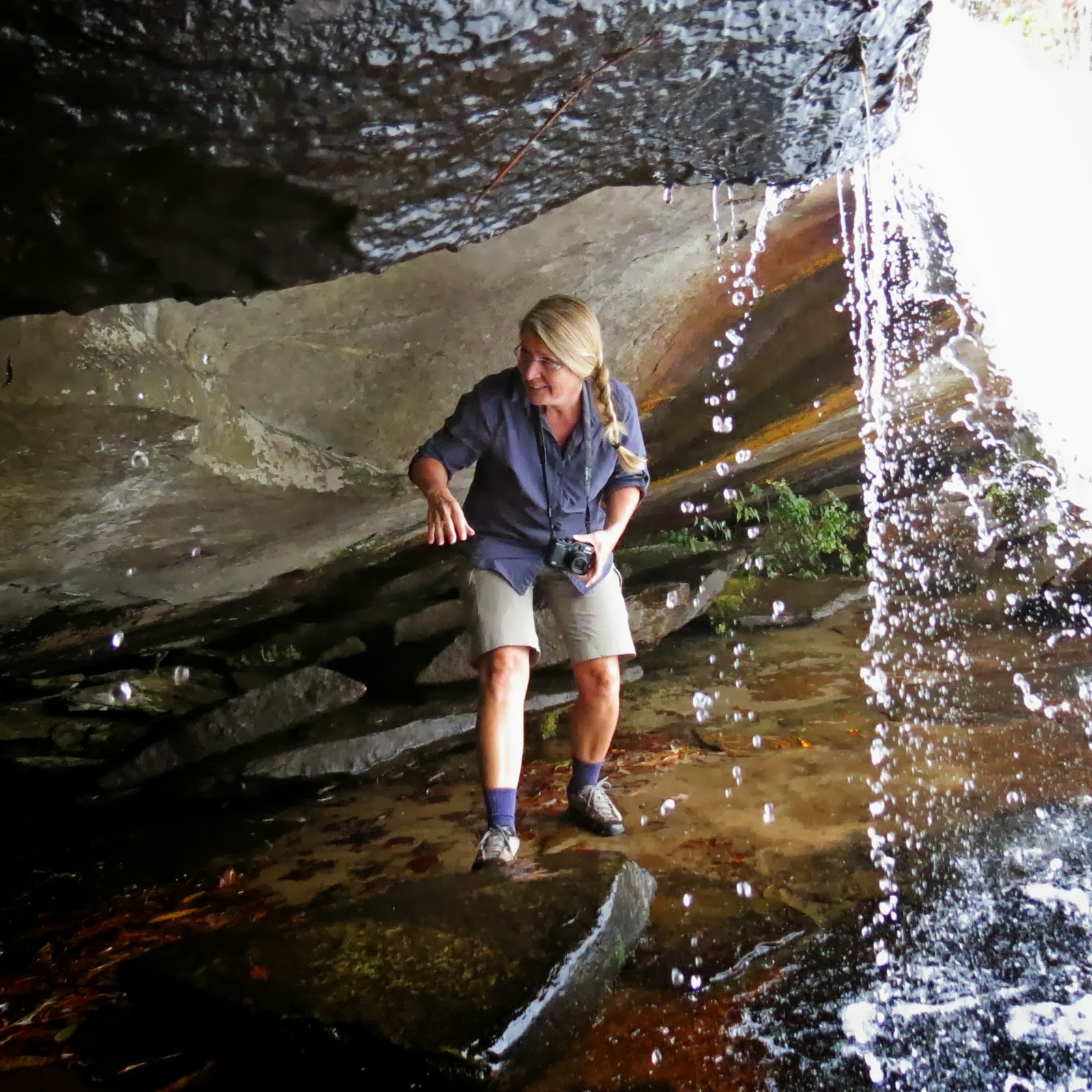
Refreshing waterfall along the way


Largest fungus I've ever seen

Tuesday, October 8, 2013

BartramTrail to Laurel Branch


What I love about this hiking group is that you never know who will show up. Newbies, regular hikers and the occasionaly hikers. We have lots of laughs and share information as we wonder through the woods. Todays hike took us to the Georgia State Line on Hwy 28. We drove about 17 miles north and The Bartram Trail parking area is just over the Russell Bridge (Chattooga River)and the trail head starts across the street. This particialar area of the trail is in the Chattoga River Flood Plain and I thought I could see evidence of some recent flooding. A beautful day for a 7.5 mile round trip hike that included several wooden bridge crossings and a site of an historic farmstead. Our picnic was enjoyed on the banks of Laurel Branch Creek.
Heart of Tree

Partridge Berries


Last of an old home place


Sunday, October 6, 2013

Pigpen and Licklog Falls

This one I have done before and would do again anytime. An easy in and out of 6 miles to see two beautiful water falls. You will find the 25-foot stack of Pigpen Falls and the two-tiered, 80-foot Licklog Falls are much prettier than their names imply. Interestingly, these two falls are among five waterfalls you could visit by hiking the entire Chattooga Trail.


Had to hike down to river....coming up wasn't so easy!


Pigpen


Hard to see Licklog in this pic


Indian Cucumber - Had a hard time identifying this one, but my friend Laurie did.  The roots are edible and taste like a cucumber....so the research says.

There are several places along the banks to camp or just a day outing for a picnic or swim.

Tuesday, October 1, 2013

Moonshine Falls & Confusion Falls - Greenville County, SC


It was a confusion kind of hike today, but we all gathered at Holly Springs Mart off Hwy 11 and junction 176. Twenty of us asssembled and headed further up Hwy 11 approximately 9 miles to Hwy 8 then veered on 276 for approximately 1.7 miles to Asburn Hill Camp. This is a private Methodist Retreat for all - and known to be a great boys and girls summer camp. Today's hike lead us through a beautiful trail, mostly within hearing distance of water. An unexpected swarm of bees approached some of us on the trail. Our leader "Bill" was very allergic to bee strings...and was stung by 6 of the nasty varmint's. Bill had to return to base in case additional medical treatment was necessary. Most of us continued on....still several others had been stung, but not allergic to there venom.


Pam crossing the cable bridge


Moonshine Falls

What's left of the moonshine still
Thristy or needing a shower!
Confusion Falls