Tuesday, March 27, 2012

Hickorynut Mountain via Foothills Trail

Another awesome day for a hike with my sister Pam and the group.  I would love to get my other sister, Diane, out with us.  If she could only come up more often from Atlanta.  Maybe on her next visit, we can plan an outing.


Started out meeting Pam off Hwy. 11 then driving approx. 20 mins to meet the others to car pool up to Sassafras Mountain.  This mountain is the highest peak in South Carolina - elevation 3,554.  The view here is fantastic.  You can see all the lakes - Hartwell, Keowee, Josassee, and even Bad Creek, plus all mountains from Cashiers to Highlands and I'm sure many more.  The temp was just perfect - probably reached 60 by lunch. 


Pam enjoying a little break at the old Cantrell home place.  Sue is standing in the background - I'm sure asking, "Why does she need a break" lol.  You got to know Sue to understand, this lady doesn't stop....she's hiking everyday - in the woods or out through out the sub-division.  I admire her and I do believe she is older than Buddy.  She is also my Yoga, partner.  I say partner, because she got me started in the Yoga and Yogalates classes at the fitness center.


Not sure what we were looking for

This place was so inviting, we all came back for lunch.
 You should have seen Pam booking it up the trail so she could get her favorite ROCK chair.  Love it!

Our leader, Bill!

Just strolling along.....

Hickorynut Mountain - Awesome!

After the 5 miles up and back hike we enjoyed another view from Sassafras Mountain. Great Day!


Friday, March 23, 2012

Hidden Falls via Oconee State Park


Thursday, March 25th - Hiking adventure today led us to the beginning of the Foothills Trail.  Thirteen of us gathered at Oconee State Park with threats of rain.  Luckly, it was just an overcast day for the hike.  The trail gradually descends through woods and a small creek eventually feeds Hidden Falls.  However, the trail shortly departs from the creek to descend along the western and then northern crest of a small ridge.  Eventually, the trail bears back to the east and into an open cove to reveal the falls.  We haven't had alot of rain lately, so not much water was flowing down the falls.


This cascade fall is a total of 50-60 feet high. 


After our return to the park, we enjoyed a nice picnic by the lake.  Guess the 5.5 miles wasn't enough for us, so we took a little walk about around the lake.


Monday, March 19, 2012

Devils Fork State Park

Tuesday, March 13th traveled with group to Devils Fork State Park.  Just a short distance from my area.  I've lived in the area for many years and have never visited the park or Lake Jocassee.  Our first one mile was on the nature trail at the park taking pictures of the Oconee Bells blossoming along the creek beds.  A short distance away was the trail head to Bear Cove.  A mildly rugged dirt trail and various hard woods descent into a mixed forest. Just follow the white blazes and you'll make your way around part of the lake where you have a backdrop of the mountains. This is a nice 2 mile loop.  The lake was down a bit, but still beautiful and very cold.  A few brave soles where out there jet sking. 


Notes:  Weather reached 80 today.  The park is located off SC 11 approx. 13.5 miles from Walhalla.  Turn left on Oconee County S37-25 (Jocasse Lake and Devils Fork Rds.) and follow signs to park entrance.  Fee and facilties are available.  Also, nice area for a picnic.

Friday, February 3, 2012

Foothills Trail @ Fish Hatchery


Beautiful day for another stroll on the Foothills Trail.  It was really more than a stroll, considering all the creeks, logs you have to mancuver over.  The hike was fairly easy and enjoyable but 6.6 miles long.  Pam joined me again for this hike along with 34 other hikers and probably 6 dogs (incuding Pam's dog, Penny)  We got started around 10 am, just met all at the trail head located at the Fish Hatchery off Hwy. 107, instead of car pooling, since both Pam and I wanted to visit Mom after the hike.  Along the trail we view several waterfalls.


At the half way point, which is the Sloan Bridge area off Hwy. 107 at the SC/NC line (not sure where the name came from) several of the hikers from our group had pre-planned a gourmet soup picnic for us all.  It was really such a treat.


The return trail back was just as enjoyable. 

Sunday, January 29, 2012

Bent Creek Hike


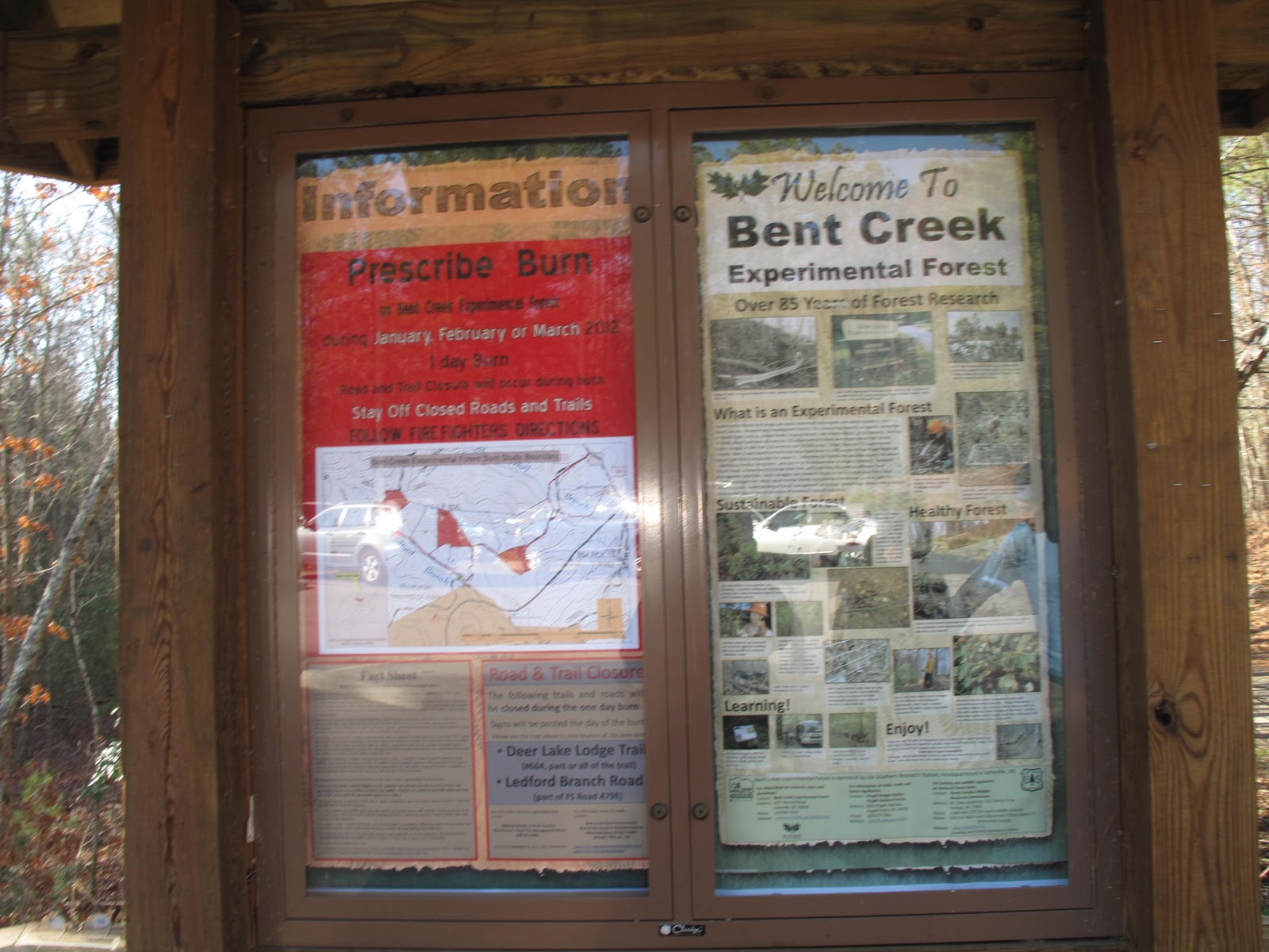
Saturday, November 28th was a great hike day- mostly because I visited with Mandy, Chris and Quacker the dog, in their neck of the woods and hiked in the Bent Creek Area.  We got started at the trail head about 11:00.  Perfect weather, about 50 degrees with mostly sunny skies.  Mandy chose to take me on the Ingles Field Gap Trail.  She, Chris and the kids bike this alot and also run here.  It was mostly a moderate hike with some difficulty with a elevated climb in 900 feet.  At the top was a clear few of west Asheville.  This was my longest hike todate - 7.5 miles.  It felt great and no knee problems.  I did purchase some hiking poles and used them today, so that probably helped with the knees.

Thursday, January 5, 2012

Sasafrass Summit - Tuesday, December 3rd

Never thought I would be out hiking in 20 degree weather.  Pam and I met up with the hiking group today at junction 178 and Hwy 11.  We traveled a few miles on Hwy 178 to the Chimney Top entrance to hike 6 miles up to the summit of Sasafrass Mountain.  This is the tallest mountain in South Carolina.
Our elevation was already at 2500 ft. when we started so we only had to climb 1000 ft. to reach the top. (Approx. 2.7 miles) What incredible views on the hike up and at the overlook.  A short lunch break at the top and then a descending hike back.  My knee started hurting again and I was able to use some poles which made it for a fairly easy and slow return, but enjoyed every minute of it.


Frosty Hikers


Thursday, December 29, 2011

Foothills Trail at Bad Creek to Johnson Creek

Thursday, December 29th - What a beautiful day for a hike!  Entering from the Bad Creek Area off Hw. 130 in SC and just before the entrance to Whitewater Falls, 22 of us hiked over to Johnson Creek to enjoy the day and picinc by the roaring creek.  The Foothills Trail is actually 77 miles in length and travels from Oconee State Park area to Table Rock, crossing many, many creeks, rivers, and specatular waterfalls.  Considering the numerous spur trails and connectors, this trail is well maintained and well marked.  Most of this trail is moderate, but I've heard that this trail is streneous in some areas.  This hike today was an in and out trip for a total of 7 miles.  It was a great hike with just one little BooBoo....for some unknown reason at the last 1.5 miles my left knee gave way on the decending slope.  With the assistance of a couple of trekking poles and moral support, I was able to finish the hike only hobbling a little bit.  Not sure what happened, but when I got home I grabbed my favorite glass of wine and when to the jazzaci.  It did help some, but then I took an ibuprofen and rub some biofreeze on.  Looking forward to my next hiking adventure.


NOTES:  Morning temp 30; afternoon 55.  Need to take ibuporfen before hiking and during.