Wednesday, May 2, 2012

2nd time around on Canebrake to Laurel Fork Falls

Had such an awesome time last Tuesday on this hike, just had to suffer again.  This is such a beautiful hike I couldn't resist it .  Same hike via boat access to Cranbrake on Lake Jocassee, just a different crowd.  Weather was a bit warm this trip, but I had my bug spray and plenty of water.


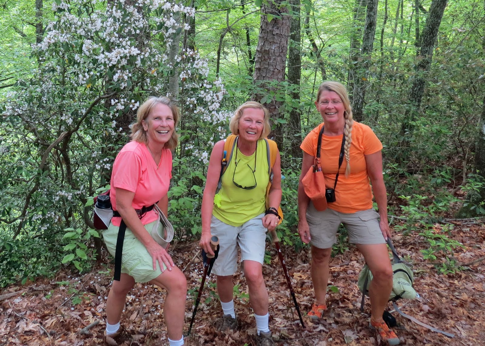
We know how to have a good time!

Ready to hit the 6+ miles


The 225-ft suspension bridge over
the Toxaway River


Several of us attempted to count these steps.....my count was 260!


Our hearts are pumping hard at this point.


Best Bud Light I've ever had!


Sharon and Bill cooling off!


During our hike, 5 of our group decided they would supposedly take a shortcut.  There is an old road bed that follows along a short distance of the trail.  The hikers kept going even after being warned to get back on the trail.  It wasn't until after we made it back to the boat that we received a phone call for help.  NEVER leave your group!  Anyway, they made their way to another area of the lake and we found them on our return ride. 

All safe but a bit worried that we wouldn't find them.


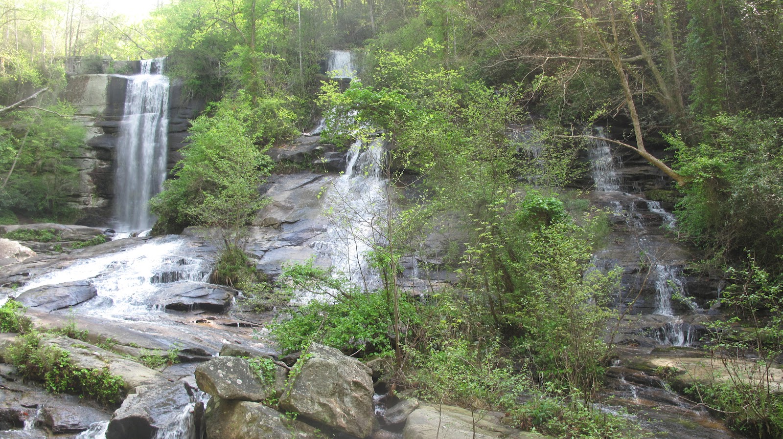
We didn't get to see Laurel Falls again because of the lake level, but our Captain took us to see High Falls.  Apparently, during the summer this place is swarmed with boaters, swimmers etc.


Thursday, April 26, 2012

Nine Times Preserve Hike

Thursday, February 26

Weather reported clear skies for am and possible rain for late afternoon.....so away 14 of us went.  Today will be a new trail for all.  It's in Pickens County off Hwy 11 and Eastatoee Creek Road. Just a short distance from Hwy 130.  The total hike is only 3 miles in and out with an optional mile on another connection. 


It started off to be an overcast day, and then the rumbling started, then the strikes came, and then the rain.  Only made .5 miles up before an about face. 

The Escape Route......like I new what I was doing! lol


 Yep, the bottom fell out.  I won't depend on the weather man again, I'll just be prepared
 next time and bring at least a rain jacket.

Canebrake to Laure Fork Falls - Another Section of the Foothills Trail

After missing last weeks hiking days, I was anxious to get back on the trail this am.  Even though it was 38 degrees when I left this morning, I wasn't going to let that stop me.  Met Pam and we traveled just a few miles on Hwy 11 to Devils Fork State Park where we were meeting our group.  This particular hike today was only accessible by a 30 minute boat ride up the Toxaway River on Lake Jocassee, unless you were doing a through hike and was already on the trail.


Just a little chilly!


Jocassee was down about 25 feet which made for a different view of the shore line.


This 5.8 mile was my first "strenuous hike" according to the guide book.  It was well worth it.  Just shortly after we reach the trail head, we approached a 225 ft. suspension bridge that crosses Toxaway River. 


There were many designated campsites on this section.  It would be neat to do an overnighter some day.  Continuing on we approached "Heartbreak Ridge".  We had .7 miles of wooden steep steps.  Lost count, when I ran out of breath.


A lunch break is definitely in order!


The Mountain Laurel was in bloom all over the area.


We all treated ourselves to a bit of wine, beer and snacks on the boat ride back.  It turn out to be a beautiful, sunny but breezy day....which for me makes a perfect hiking day.


Thursday, April 12, 2012

Three Forks - Georgia

A bitter cold morning to start....off with the summer Keens and on with my LaSportiva Hiking Shoes, long pants and vest.  Burr....it was cold this am.  Meet the group in Walhalla and headed north on Hwy 28 just to the Georgia State Line.  The trail is just off the highway, no signs or blazes on this one.  Glad we had some hikers that new the way.  It was a moderate 7 mile up and back hike with the last 3/4 mile to the river being a very difficult dog leg of a hike.  It was worth it though....


Off to a great start.....

A great group to hike with!


Three Forks Creek


All three pictures are all different creeks merging into one


Nice area for our break and picnic......


Wednesday, April 11, 2012

Virginia Hawkins Falls


The waterfall we found today is located on the Foothills Trail in upper Pickens County in the Laurel Fork Heritage Preserve. It use to be called Double Falls until 2004, when it was renamed for Virginia Hawkins, a longtime Foothills Trail Conference executive secretary. 

Couldn't ask for a better weather day.....reached around 65 and a cool breeze for most of the way.

There were 20 of us that gathered for an great 7 mile hike.  Our first stop was to see the waterfall.  It was only about 40 mins into the hike.


After a few photo moments, we headed off this spur trail and continued on following the Laurel Fork Creek for several miles.  Followed a road bed for awhile and then jumped on the trail.  Numerous areas to play in the creek as well as more photo of the wild flowers.


One of many bridges in the area


Always interesting to question where we are


Another Trillum


NOTES: 
From Holly Springs Mart at intersection of Hwy 11 and 178.  Head NW 7 miles on US 178.  Just pass the Rocky Bottom Bridge, turn left onto travel road for about 4 miles.  Limited parking here.   Trail head is well marked. 


Thursday, April 5, 2012

Foothills Trail via Bad Creek

So glad the rain held off for another great hike on another segment of the Foothills Trail.  Maybe one day, I can post that I have completed the entire 77 miles and then I'll focus on the Palmetto Trail or not.  There just are so many hikes in the area I have yet to discover.  Our original plan for this hike was to enter from the Bad Creek Parking area and hike to the lower Whitewater Falls.  We had a small group of 8 today (7 women and one lonely guy)  Don't really think he was lonely - he seemed to enjoy the chat with each of us.  Most all in the group had seen the lower section before, so we decided to follow the Foothills Trail along the Whitewater River and what a nice choice that turned out to be.  Actually ran into several trout fishers and 2 more families making a weekend trip along the trail.  Camping is not allowed around the Whitewater corridor.


Not sure what he is, but he was awful friendly.

This is a nice, well groomed, moderate trail that starts at the Bad Creek Reservoir and follows the Bad Creek Spur over a ridge, crosses two footbridges over the Whitewater River where you can stay on the Foothills Trail.  Several trails branch off this area to either Coon Branch near Upper Whitewater Falls or the Lower Whitewater Falls.  It is well marked with blazes and signage. 


Today's hike ended up being 4.8 miles and we enjoyed yet another picnic along the river.  So many more wild flowers are still out in bloom.  Found many more Trilliums and wild dwarf Iris's and a few other ones I'll learn one day.  I've been trying to take some pictures of them and with the help of my fellow hikers, identify, so I can at least have some knowledge on what I'm seeing.


Jack-in-the-Pulpit

?


Trillium
 

Tuesday, April 3, 2012

Twin Falls

Tuesday, April 3rd hike without Pam.  She's with her family in Piegon Forge at a Baseball tournament.  I remember those days.  Pam has been doing the Tuesday hikes with me.  She missed a good one, but we'll make up for it.  Today we grouped again at the Holly Springs Store off Hwy 11 and headed a few miles on 178 to the upper area of Twin Falls.  Another gorgeous day with temps around 65.

On our first leg of this hike we headed up to the top of the falls and back.  It was mostly easy but had some elevated areas, of course.  Total of 3 miles.  As I understand it, this trail is relativley new in this area.


Our regular leader,Bob, was out today, so Nancy was the lady in charge.  We'll, she new where we were to go and she is very full of knowledge of all the trails we have traveled. 


Just above the falls...it is very slick!


View from the trail

Guess this tree got tired of standing on its own.


Totally awesome...2 waterfalls.....


How about naming this Triple Falls!  Incredible!


Oh, and my new "Keens" did great!  Love em!
Always time to stop and smell "the flowers" - Dwarf Iris


A little detour on our way home at Long Shoals Creek.
Great place for the kids to swim and fish!

NOTES:  Directions - Heading North on Hwy 11 from Walhalla headed to Holly Springs Store (approx. 20 min. drive), turn left at Junction Hwy 178. Go approx. 4 miles and turn left at Bob's Store.  Go approx. 1 mile and look for area to Twin Falls (this will be the upper area).  When leaving keep heading north and watch for signs for Twin Falls Parking.  This will take you on a trail to view the falls from the bottom.