Tuesday, May 7, 2013

Lake Russell (Georgia)

Tuesday, Apr 23, we headed for Russell Lake and Nancytown in Georgia.  It's a bit of a drive, but, the trail is lakeside, mostly easy 6 miles; a one way loop, with nice flora and lake views. 


Lake Russell Loop Trail


Over the dam


Spill way


May-Apple
Also known as Mandrake, this plant reaches 10 - 18 inches tall and has two prominent peltate leaves.  There is a single inconspicuous flower which apprears in the spring near the junction of the leaf stalks.  Colonies of 50 - 100 or more plants grow in open woods and on road shoulders at elvations of 2,500 feet.


Virginia Hawkins & Laurel Falls

It's good to be back on the trail after a couple of months spent in Florida.  This hike is a familiar one and it's well worth the effort to see the falls.  Tuesday, Apr 16, we headed to Virginia Hawkins Falls then onto Laurel Falls on Lake Jocassee with wildflowers enroute.  The hike is about 7.5 miles, mostly easy and moderate, if accessed via the Heritage Preserve.  It's 9 moderate/difficult miles if begun from the FT access at Rocky Bottom.  The shortcut requires gravel road access...usually well maintained, but 4 miles in...best by SUV.


Oconee Bells


Welcome to Spring - Dwarf Iris
Beautiful rich blue widely seen along trails and roadsides.

Log Rolling


Another species of Aster


Arlene likes to make the bridge bounce


Leap Frog


Laurel Fork Falls


Lunch break by river


Vasey's Trillium
The largest flower of its species.  Dark maroon-purple flowers. 


Virginia Hawkins Falls


Solomon's-Seal
Very gracefully arching herb, usually 2 to 3 feet long and has greenish-yellow axillary flowers.

Following the hike today, Nancy took Ivan and myself to the place called "Jumpoff Rock".  This is the most beautiful view I have ever seen of Lake Jocassee.  Not to mention, we got to see 6 Falcons sorrowing on the cliffs.  The ride from the hiking trail took another 30 minutes of winding, rough dirt roads to see the view and an hour drive out to have gone only 4 miles.  Jeep highly recommened.


Foothills - Sloan Bridge to Hatchery

This was my first time on this leg of the Foothills Trail.  Very easy 6 miles through the well maintentained trail.
Rattlesnake Plantain - Orchid Family
White-veined basal leaves and has small white flowers in summer.  Found in moist, wooded slopes at elevations up to 4,000 feet.  Stems can reach 10 - 15 inches.

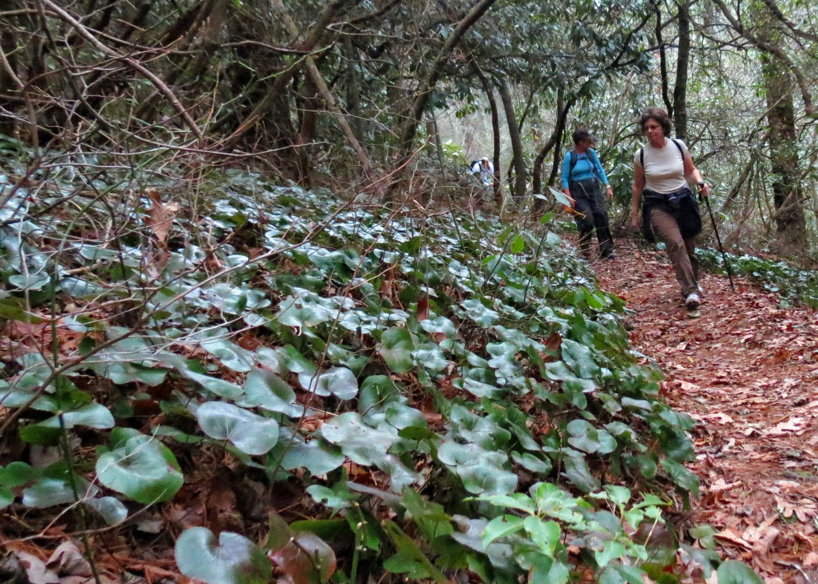
Galax - This plant is widely known for its leaves which turn copper-red in winter and has white spike flowers in the Spring.  It's abundant in dry woods up to 5,000 feet elevation.

Bill - Always hard at work!


Big Falls

Jan 7, 2013
Twenty six tried a hiking mix. With special thanks to Craig and Sue, 19 were roped into Big Falls...8 miles with some close calls. But, great adventure for “we alls”.  Bill
We begun from the Bad Creek access and took the Foothills Trail toward the Thompson River.  About 1/2 mile before the river, we took a spur trail to the north that takes us up a ridge.  From there we descended down to the river with the help of rappelling ropes.  At the river, we did a bit of rock hoping to view the fabulous Big Falls, which is not well known because of the limited accessability.  Had lunch on the river, before we ascended - again with the help of ropes.  Gloves were a must on this one - not because it was cold, but to help with the grip on the ropes. Total length of hike is about 8 miles. This was a  total body workout!


Our Leader "Bill" at Big Falls

Monday, May 6, 2013

Sassafras Mountain

Jan 2, 2013

Misty morning on Sassafras Mountain, but 12 and pup made it up...1000 ft; six miles; sweet!   I get a big kick out of our leaders captions when he sends his pictures over.  He can always get it right!
After a wonderful and very busy holiday season, I'm ready to get back on the trails. 

Some folks even brought  a portable stove to heat there soup!
Wish I would have thought of that.


Wednesday, November 7, 2012

Three Forks - November 1, 2012


Three Forks.  The name refers to the junction of Holcomb, Overflow, and Big Creeks which combine to form the West Branch of the Chattooga River.  The rocky junction, surrounded by rapids, falls, rocks and foliage, is truly beautiful and a great setting for lunch.  We started with a small stream crossing with some choosing to shimmy across a large log instead of jumping rocks.  The trek out and back totaled 6.7 miles.  It's mostly moderate, except for a short, steep decent as we neared the forks.  The scramble in and out was definitely worth the brief effort.


 A bit chilly this am!


DIRECTIONS:  Head north on SC28 for 16.5 miles into GA.  Another 6.5 miles north of Russell Bridge (the SC/GA border) look for a clearing on the left.  It's just uphill past a modest bridge/valley dip across a feeder of Big Creek.  Park there. There are no fees and no potties past Walhalla. 

Thursday, October 25, 2012

Scaly Mountain - Highlands, NC

I hiked this part of the Bartram trail last May, but I'll hike anywhere, anytime I get a chance. We had 15 of us today for a 5.5 moderate hike.   I was a bit concerned about this trail because it was mostly uphill and I new my left knee can cause me problems on the descend.  Taking some Advil and eating my banana must have some benefits because it was a breeze on the downward trek.  No problems with that.  However, I did experience some sort of anxiety attack at the beginning of the hike.  I needed to fall back just as we started and do my business (note to self - don't drink a lot of coffee before heading to the woods).  I got a bit confused where the trail went and thought I was lost.  I really didn't want to blow the whistle and cause commotion so I finally figured it out and caught up with the group.  It took me 3 miles into the hike before I could control my heavy breathing and my chest to stop hurting.  I was so nervous.  All ended well.  The leaves were spectacular and you couldn't have asked for more perfect weather.

View from Summit
My app on Droid said I'm looking at Grassy Knob???

Spectacular vistas

It does say "Most Difficult" but it is a slow incline.

View from Osage Parking Area - off 106 Highlands


A nice treat on the side trail....